top of page
PRECISION MAPPING • PROGRESS TRACKING • 3D MODELING • STOCKPILE VOLUMETRICS
Technical Specifications
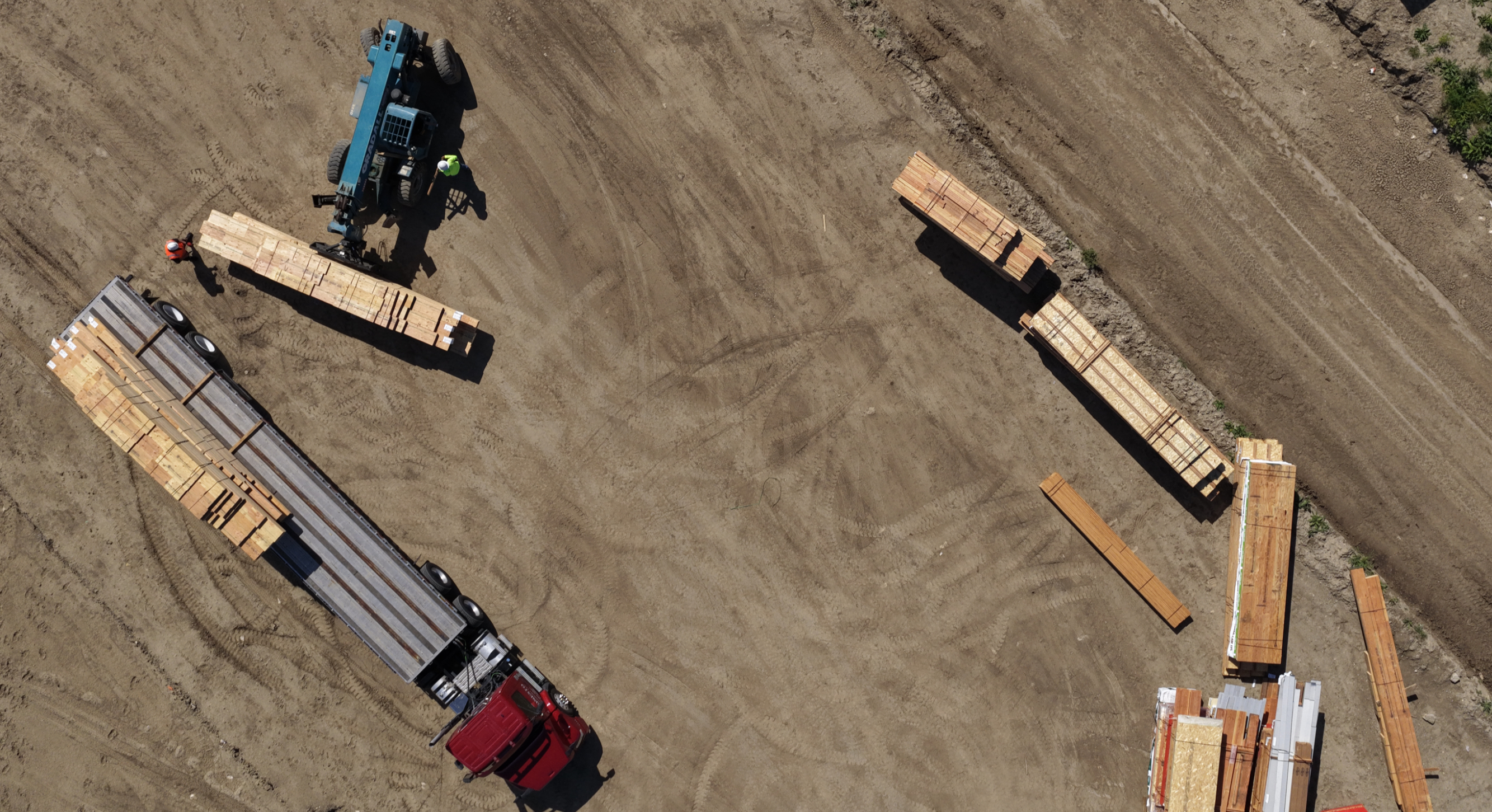
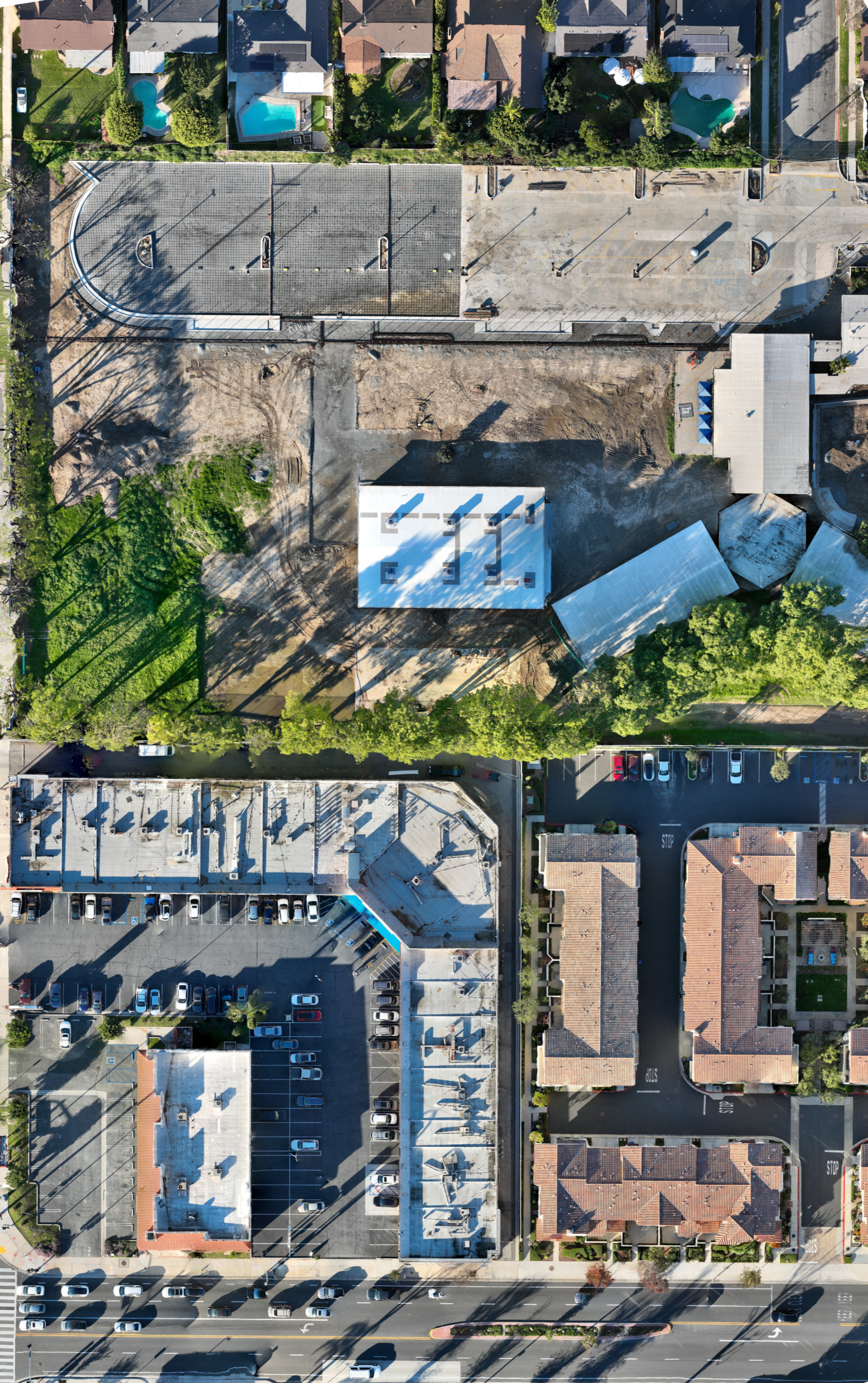
2D Orthomosaics
High-resolution aerial mapping with centimeter accuracy, providing seamless topographic views for site planning.
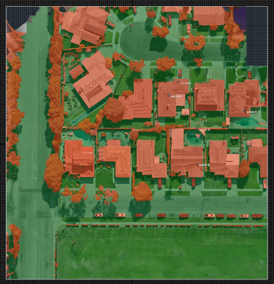
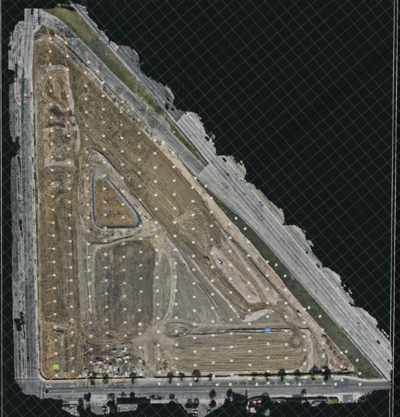
3D Modeling
Advanced point cloud generation and meshing capabilities for volumetric analysis and structural integrity verification.
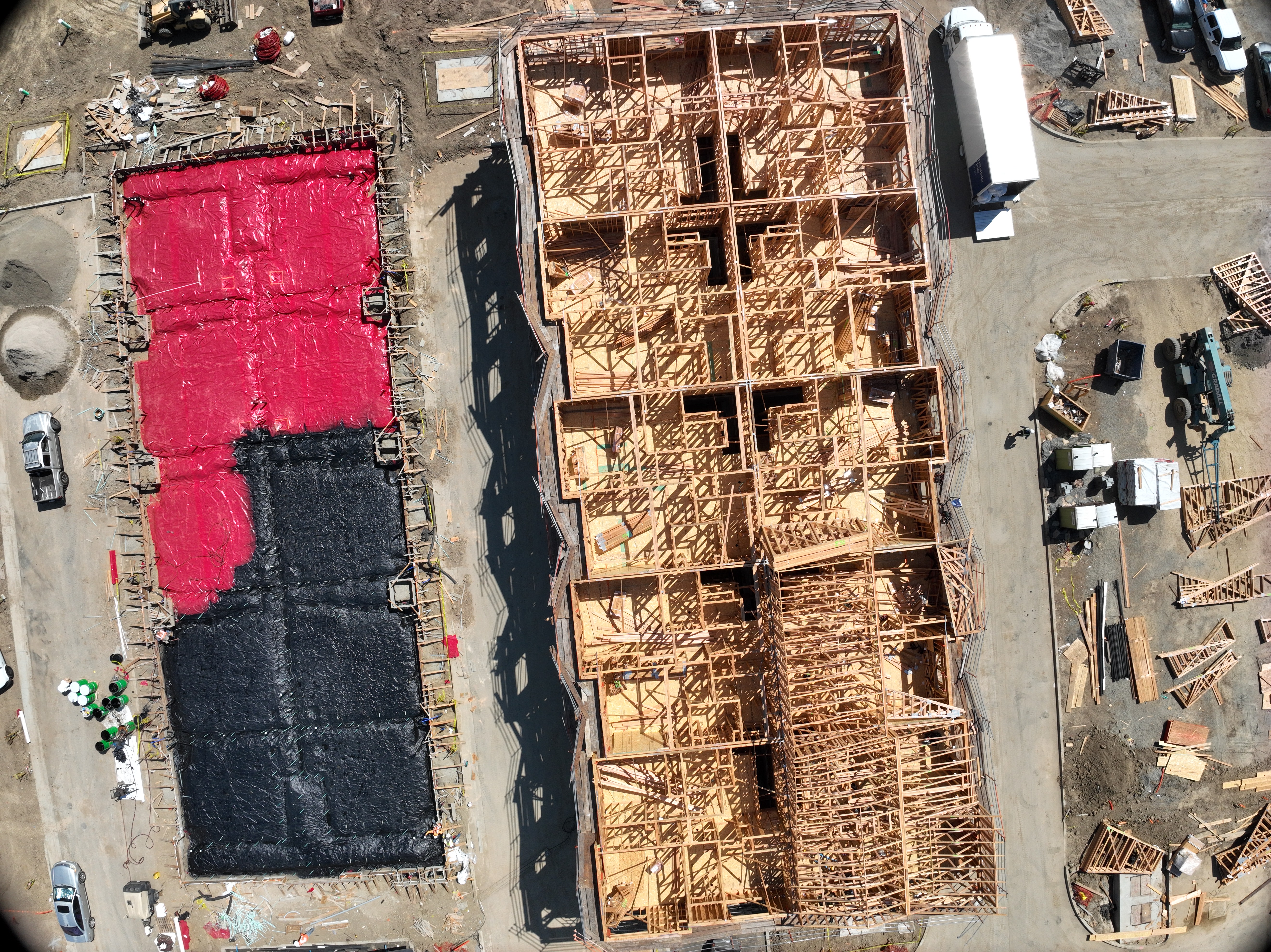
Progress Tracking
Comparison tools that highlight material variance and structural deviations against baseline models.
Real-time Intelligence
Cloud-based processing pipelines that deliver actionable data, ensuring rapid project iteration.
Project Intelligence


bottom of page